Review: Collective City, Seoul Biennale
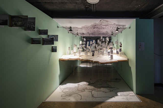
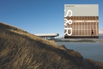
Future proposals overlaid past and existing conditions in the Hataitai exhibit.

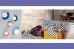
Along with the proposals, the exhibit included a beautifully sewn map of the possible future; a satellite image of the contemporary situation; and a map of Wellington as it was in 1880, when Hataitai was farmed.
The walls were painted with Resene Fringy Flower.
The theme for the second Seoul Biennale of Architecture and Urbanism (SBAU), held September–November 2019, was the Collective City. Both Wellington and Christchurch were represented in the Cities Exhibition, one of four main exhibitions in the Biennale to which more than 80 cities were invited to contribute.
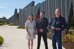
Korean-born Victoria University of Wellington graduate Dongsei Kim co-curated both of the New Zealand exhibits: the Christchurch exhibit with Barnaby Bennett and the Wellington one with me. To develop the exhibit, we worked with three of my final-year students at the Wellington School of Architecture: Emily Dalley, Ariana Faulkner and Eleni Timoteo.
Our exhibit focused on the Wellington suburb of Hataitai, which serves as a case study for the wider problem of low-density, car-oriented cities. Like many contemporary greenfield developments, Hataitai started the 20th century as a farm and was slowly taken over by low-density suburban housing. Hataitai is only a few kilometres from the city centre, yet 36 per cent of its commuters travel by car and it has an average density of only 33pph (people per hectare). This is approximately the same density as that of metropolitan Los Angeles while density in the area around the Sagrada Família in Barcelona, one of the most dense neighbourhoods in Europe, is closer to 500pph.
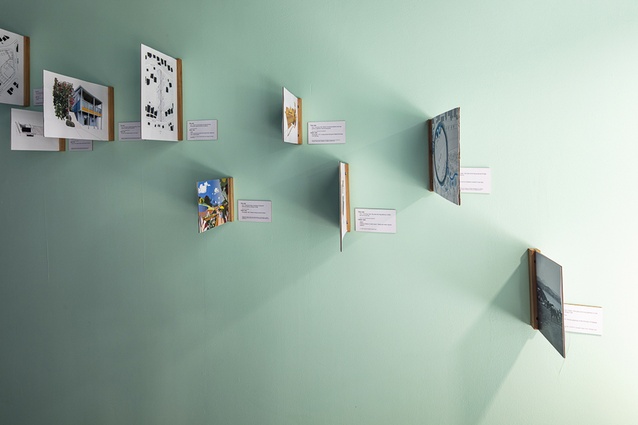
Most Hataitai roads were formed along contours of the hill and this created some long blocks, which work better for cars than for pedestrians. Our research has demonstrated how a small network of existing pedestrian pathways that divide these blocks could be expanded to make a much more pedestrian-friendly environment.
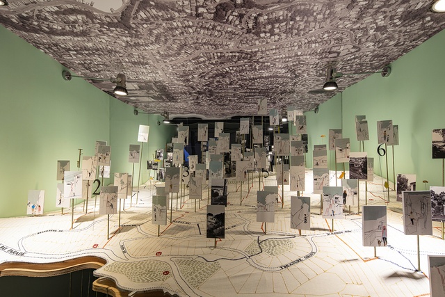
Students mapped these potential pathways and each devised a project that explores the possibilities of an expanded pedestrian infrastructure. These were presented alongside commissioned projects in the neighbourhood exploring the same issues, including concept drawings for a proposed Hataitai Cultural Centre by KebbellDaish and Architecture+. The exhibit included: images of existing conditions and proposals around a beautifully sewn map of the possible future; a satellite image of the contemporary situation; and a map of Wellington as it was in 1880, when Hataitai was farmed.
The Collective Cities Exhibition demonstrated ways in which cities of vastly different populations, economies and cultures share many of the same challenges and opportunities. The possibility of some extra pathways in Hataitai is undoubtedly a local issue but it has implications for many other suburbs in Wellington and beyond. Ultimately, it is part of a global question about how we all live together.
Thank you to the Wellington School of Architecture and Resene for supporting this project. The walls were painted with Resene Fringy Flower.